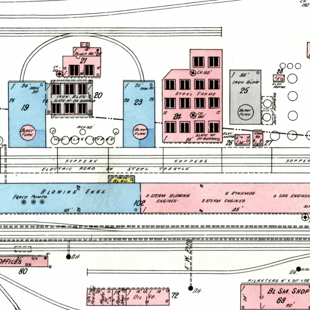
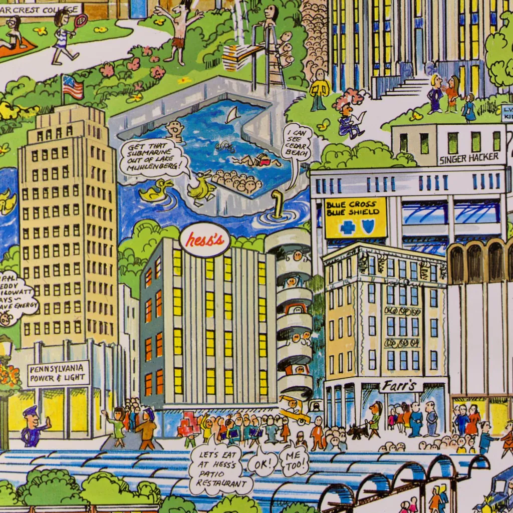
Discover the 1912 Bethlehem Steel map in a zoomable format. Uncover the industrial legacy that shaped early 20th-century America, revealing the structures and foundations of a bygone era’s powerhouse—courtesy of the Sanborn Map Company and Pennsylvania State University.
Category: History
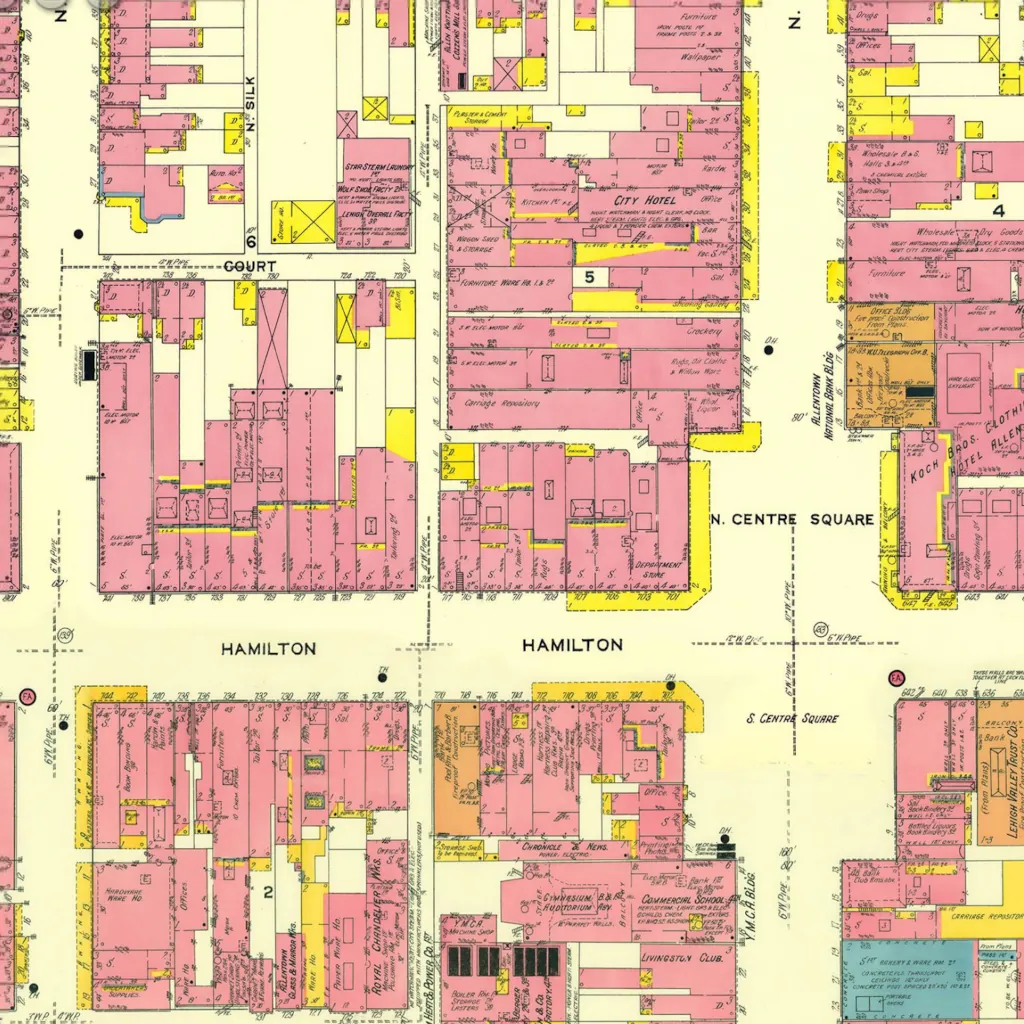
Allentown’s Streets of 1911
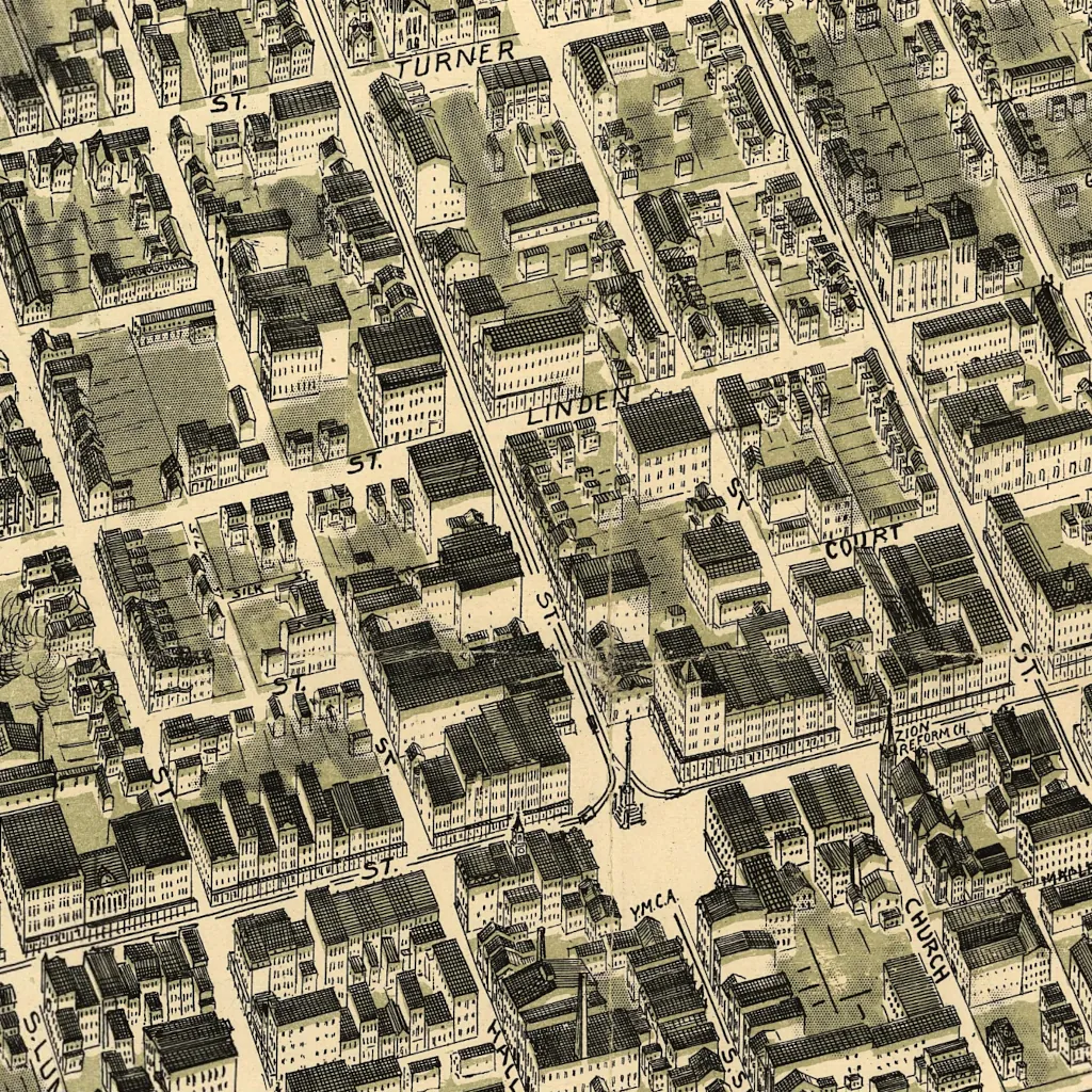
Explore the intricacies of Allentown as it was in 1911 with this zoomable map. Every street and building invites you on a virtual walk down memory lane, revealing the city’s layout over a century ago. Delve into the historical architecture and urban planning of early 20th century Allentown.
Allentown Pennsylvania 1911 from the Sanborn Map Company courtesy of the Pennsylvania State University.
